TM2A junction — utilities and drainage BIM model, Changi East T5
Part of the advance works ahead of the T5 substructure at Changi East.
- Programme
- Changi East T5 — advance works
- Location
- Singapore
- Our services
- BIM modelling · Multidisciplinary coordination · Clash control
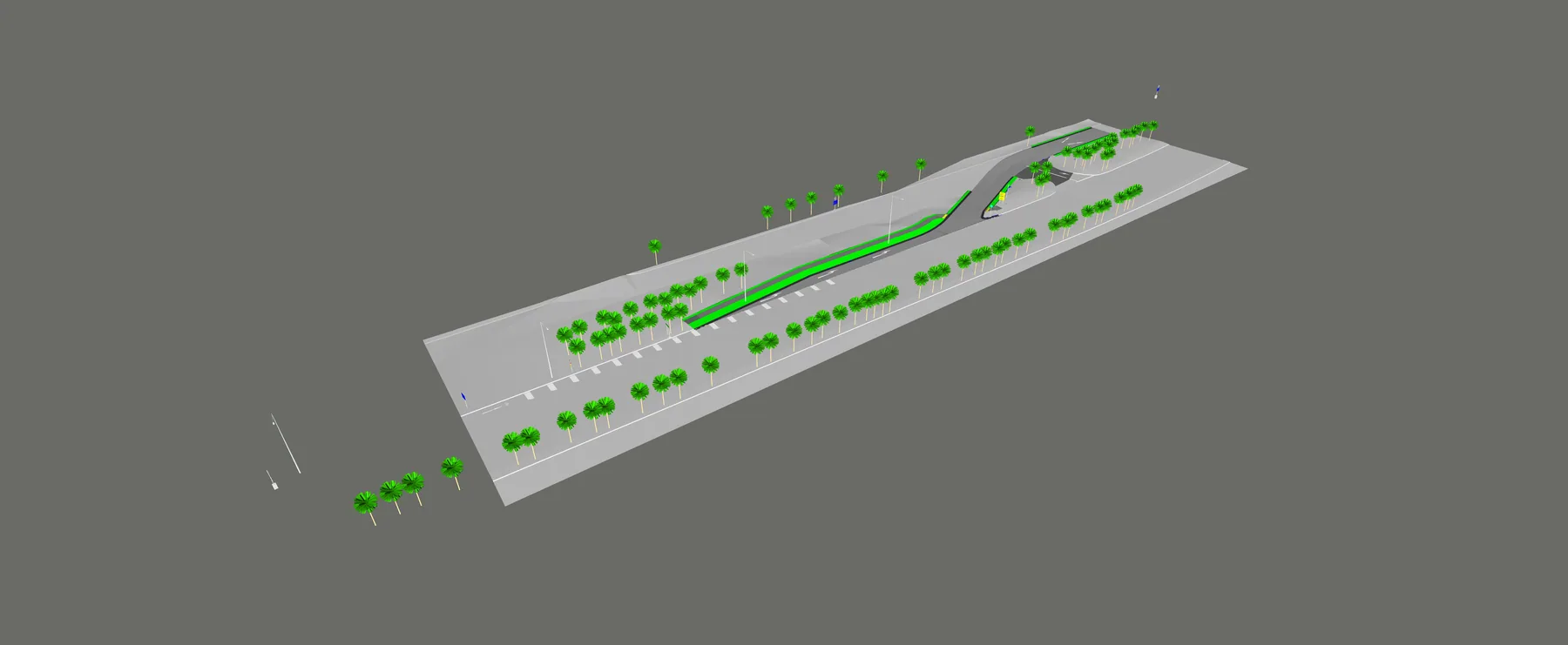
Part of the advance works ahead of the T5 substructure at Changi East. At TM2A the temporary utilities are taken out of the substructure footprint and the junction is rebuilt around them.
Underground utilities
Each service is modelled in three dimensions — routes, depths, chambers, ducts and crossings — against the road formation, the drains and the substructure footprint. Services that stay in place are modelled beside the diverted ones, so clearances hold at every stage and not only at the end.
Drains
Gullies, chambers, pipe levels and outfalls, modelled with the road and kept working while the services move.
Road corridor
Junction geometry and alignment, levels and crossfalls, kerbs and edge lines, rigid and flexible pavement, mill and patch where the diversion trenches cross the existing carriageway, road markings and signs, street lights, CCTV, concrete barriers, security fencing and gates, tree felling and turfing, and the temporary works for each stage.
Multidisciplinary coordination
Road, drainage, utilities, traffic and landscape come from different design offices in different formats. We bring them into one model on a common coordinate system and datum.
Clash control
Each discipline is checked against the others and every clash is closed with the office that owns it before excavation. Setting-out coordinates and finished levels are read from the model.