Kolam Ayer Industrial Estate — road widening, sewer and drain BIM model
Proposed road widening and sewer and drain upgrading works at Kolam Ayer Industrial Estate.
- Location
- Singapore
- Our services
- BIM modelling · Multidisciplinary coordination · Clash control
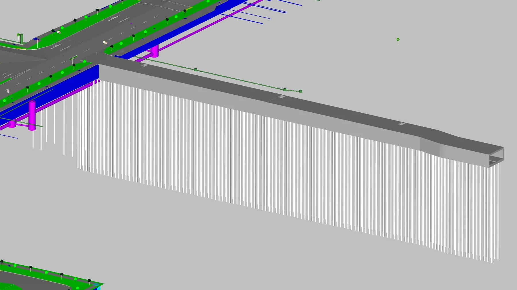
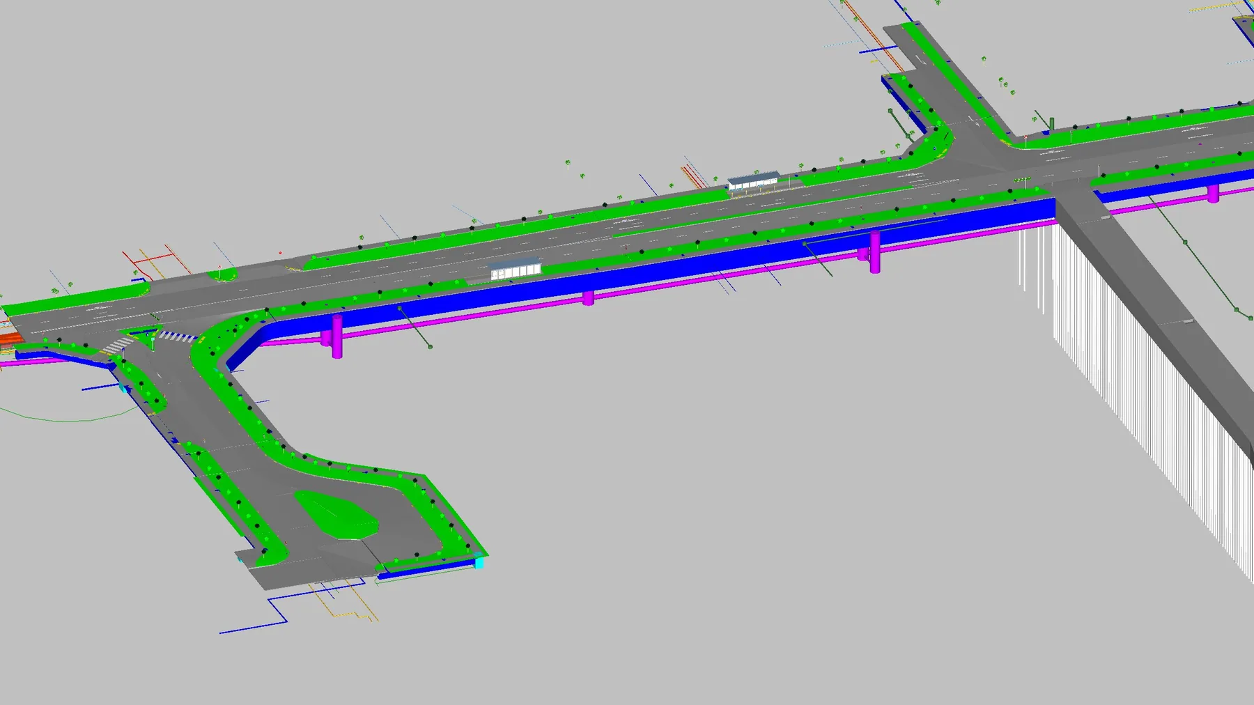
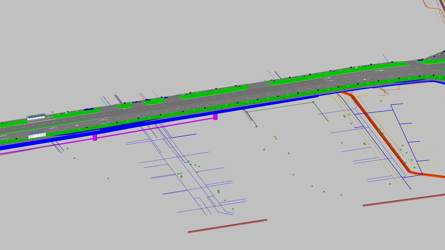
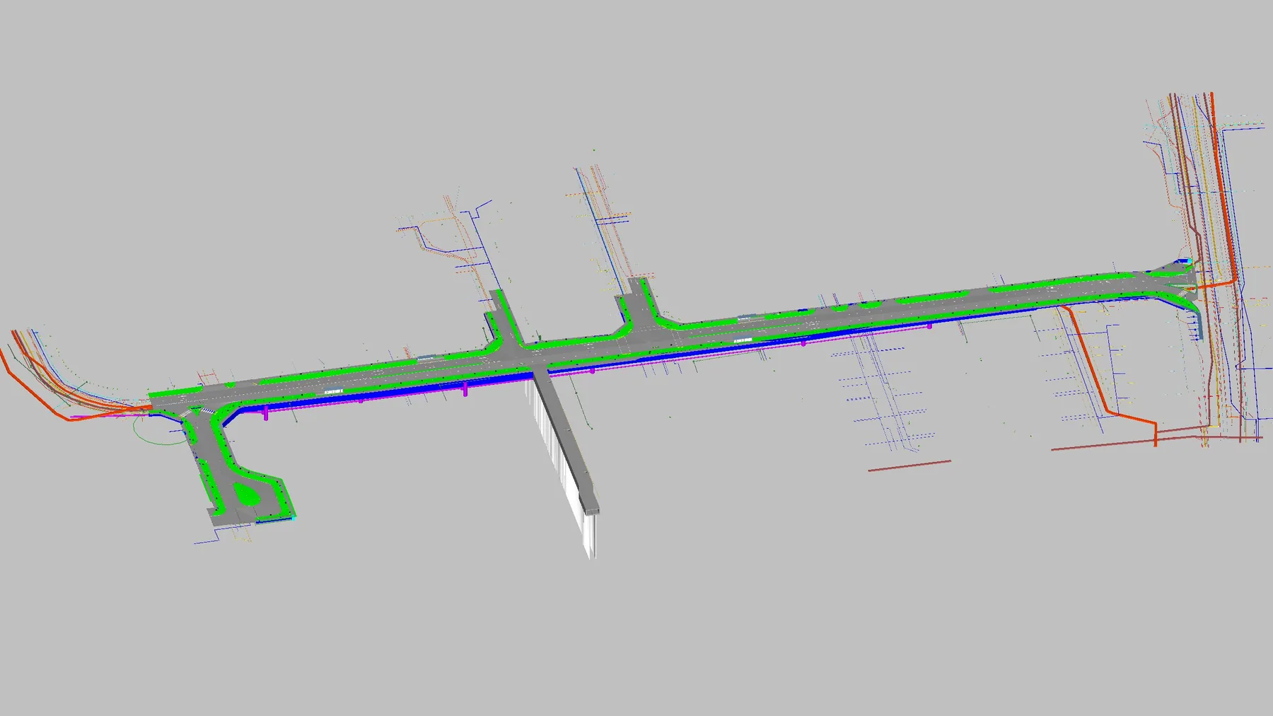
Upgrading works at Kolam Ayer. The road is widened and the sewer and drains are upgraded inside an estate that stays in use, so the new work ties into existing levels and existing services at every point.
We prepare the BIM model and run the multidisciplinary coordination.
Road widening
The widened carriageway set against the existing one: horizontal alignment and vertical levels, crossfalls, kerbs and edge lines, footpaths, rigid and flexible pavement build-up, mill and patch where new meets existing, road markings and signs, street lights, and the earthworks behind the new kerb line. Trees and turf affected by the moved kerb line are modelled with the corridor.
Bus stops
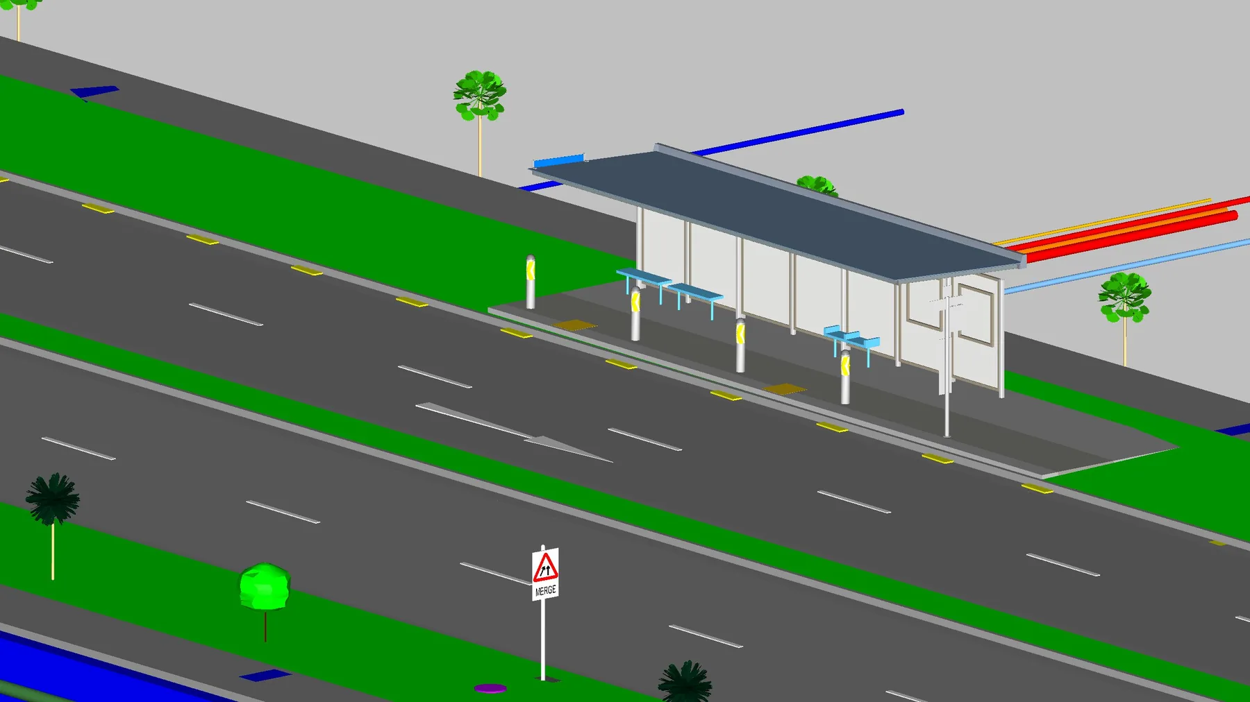
Each bus stop is modelled in place: bus bay and hardstanding, shelter, kerb line and footpath levels, drainage at the bay, and the lighting and ducting serving it. Where the widening moves the kerb, the stop is modelled in its new position against the road geometry and the footpath behind it.
Drains and sewer
Upgraded drain runs, gullies and chambers, and the sewer with its manholes and connection levels — modelled against the widened road so the falls work with the finished levels, and staged so the existing system keeps running while the new one is built.
Existing services
Existing utilities in the corridor are modelled alongside the new work, so what has to be protected, supported or diverted is known before excavation.
Multidisciplinary coordination
Road, drainage, sewer, utilities, traffic and landscape come from different design offices, in different formats and at different times. We bring them into one model on a common coordinate system and datum.
Clash control
The upgraded drains and sewer are checked against the widened road formation, the bus stops and the services staying in place, and every clash is closed with the office that owns it before excavation. Setting-out coordinates and finished levels are read from the model.