Parkerville Grove School — heritage campus modelled from point cloud
A campus in use for more than a century, converted into a specialist secondary school. The buildings were already standing and the design had to start from what was actually there, not from what the old drawings said.
- Location
- Australia
- Our services
- Scan to BIM · Layouts and elevations
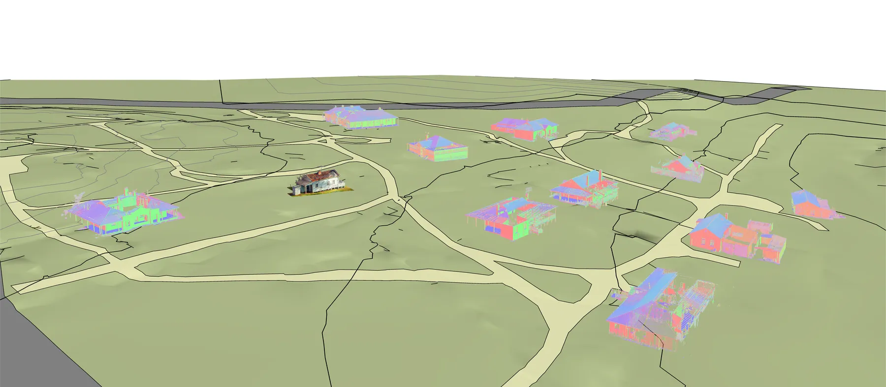
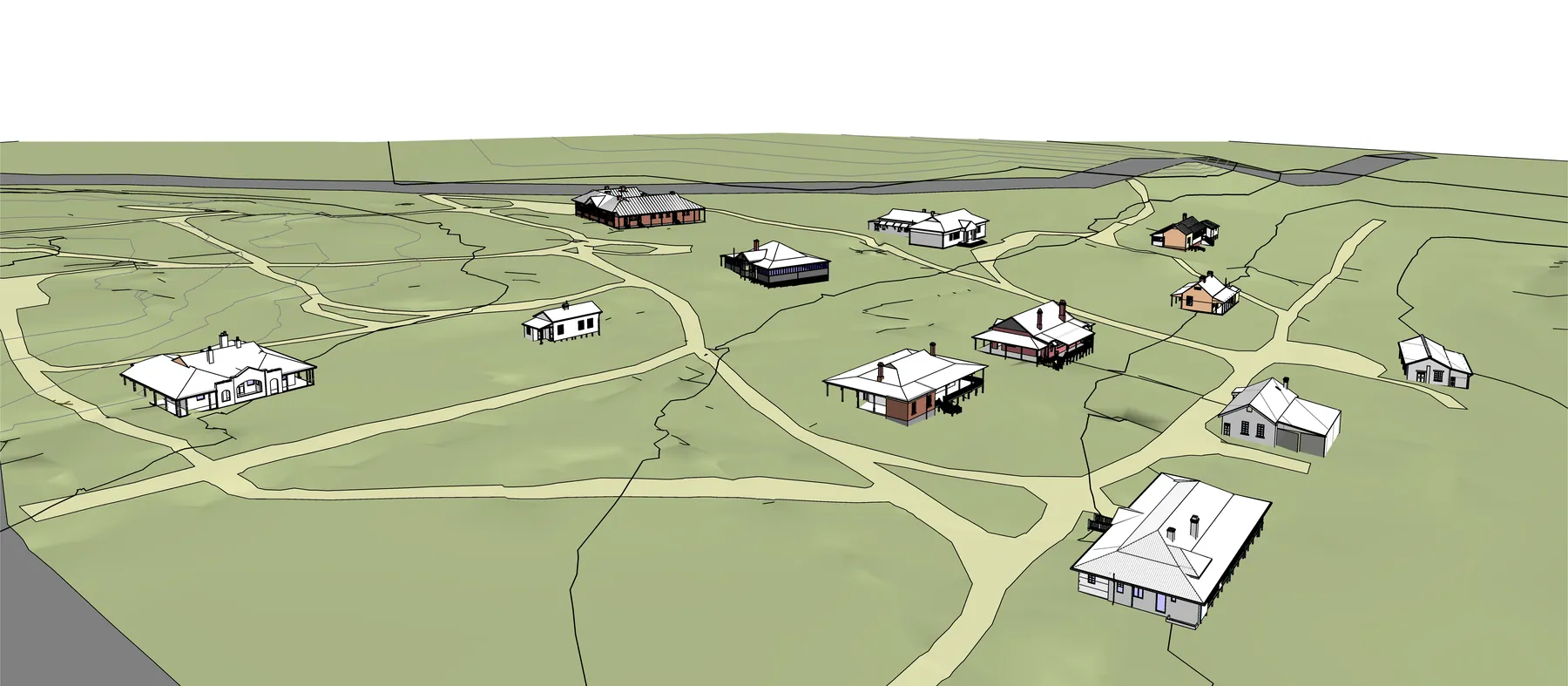
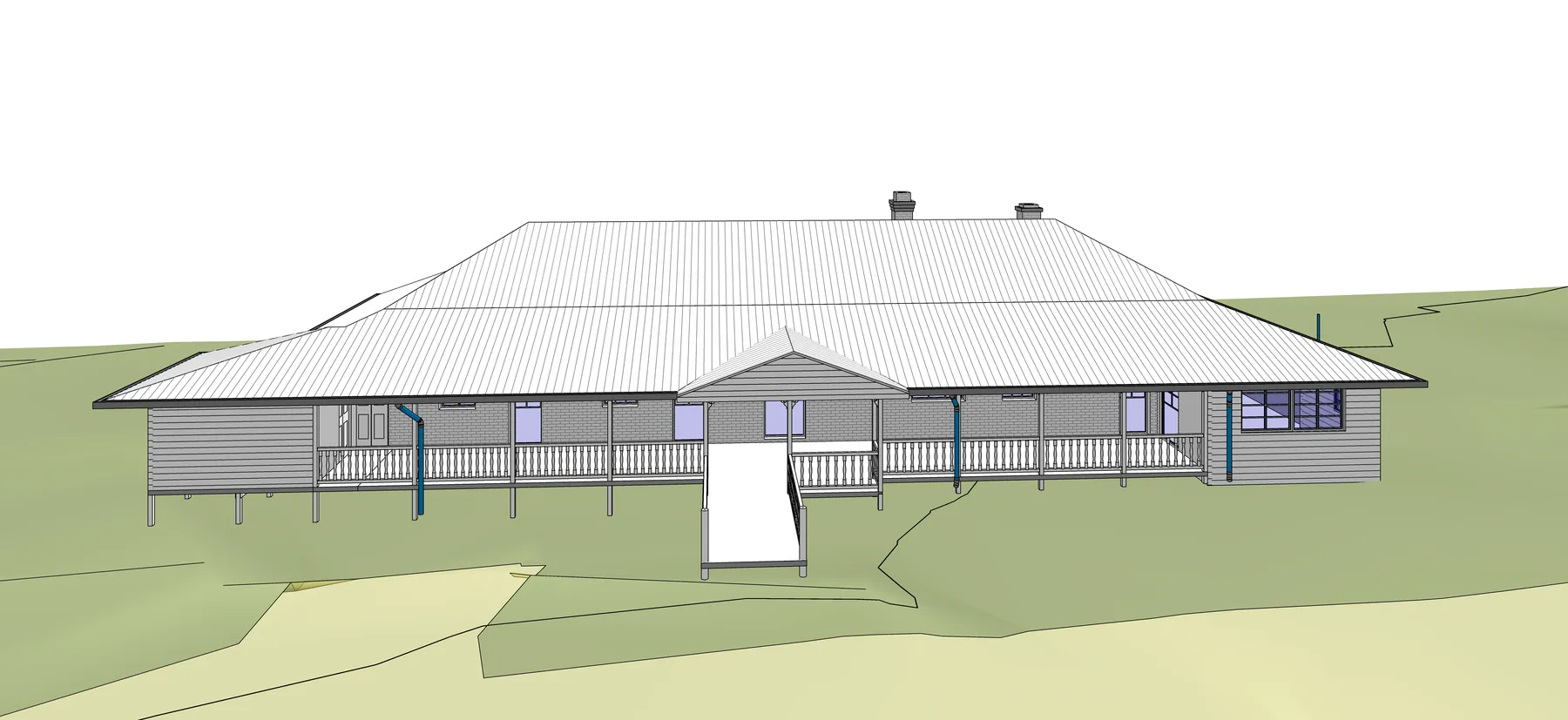
We built the BIM model from point cloud survey data and produced the drawings from it — layouts and elevations across a large site of many historic buildings with irregular geometry.
Point cloud to BIM
The scan data was brought onto one coordinate system and the buildings modelled against it: walls, floors, roofs, structure, openings and floor levels. Every element was checked back to the cloud rather than drawn to a nominal dimension.
Historic buildings
Old buildings are not built to the drawing. Walls lean, floors fall, no two openings are the same size and additions from different decades meet at angles that were never set out. The model carries that geometry instead of tidying it away, because the conversion works to the real building and not to an idealised one.
Layouts and elevations
Floor plans and elevations for every building, produced from the model, so that a change to the model changes the drawings. One set, one source, coordinated across the campus.
One campus, one model
Many buildings over a large site, modelled on a common coordinate system and datum and each set in its true position. The campus reads as one model, and any building can be drawn out of it.